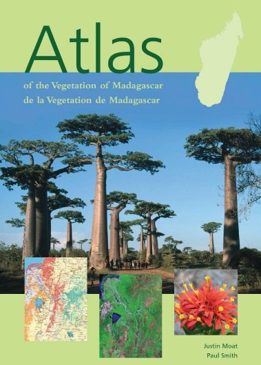
Madagascar is home to more than 10 000 plant species, 80% of which occur nowhere else in the world. With natural vegetation ranging from rainforest to unique spiny forest, Madagascar’s range of plant diversity makes it one of the world’s most important biodiversity hotspots. In common with many other tropical countries, the flora of Madagascar is extremely threatened not only by habitat destruction for agriculture, fuelwood, building materials and so on, but also, in the case of certain species, by over-collection for the horticultural trade.
This project represents an all-inclusive collaboration between specialists from a wide range of botanical and conservation institutions, which has ensured the most thoroughly ground-truthed vegetation map ever compiled for Madagascar.
Finally, through a series of workshops, it incorporates detailed consultations with the conservation community to ensure that the final products are of maximum relevance and utility to conservation planners and managers. An accurate and updated vegetation map is imperative for conservation planning and natural resource management in Madagascar. It is also essential that the data on which such a map is based be made freely available, so that conservation organisations, government departments, academic institutions and other stakeholders can use them as an up-to-date standard dataset on which to base their activities.
